
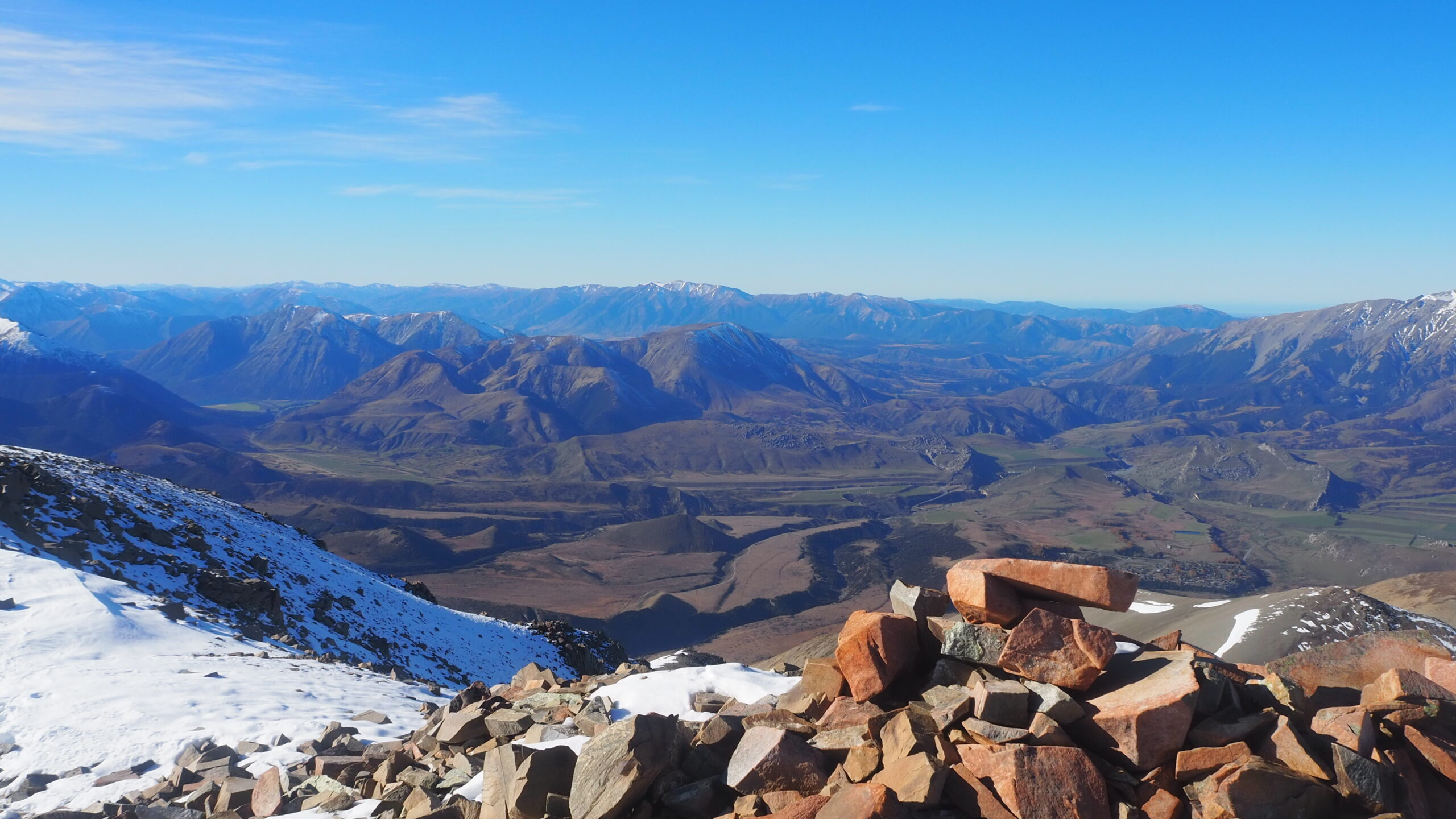
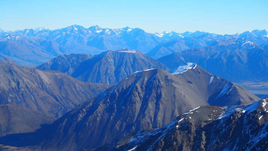
I was blown away by the breathtaking view of snowy mountain ranges fading into the distance. The pristine, rugged terrain was etched in my mind throughout the hike.
Mt Cloudesley, near Castle Hill Village in Canterbury, was my first attempt at climbing a mountain over 2,000 metres. In fact, it was only my third proper hike.
I went with two friends. One was an experienced hiker and incredibly fit, while the other two of us were nowhere near his level.
The climb was tough, but what I remember most is the view from the summit and how good it felt to finally get there together.
20/6/25
The Climb from Castle Hill Village
We started from the base near Castle Hill Village, waded through knee-high grass and eventually reached the route up the mountain.
The slopes were pretty steep, and I soon found myself panting. My legs almost cramped several times on the way up.
I didn’t think the mountain was beyond me. I reckoned I could manage it if I took my time.
But one of my mates had other ideas about the pace!
He was used to hiking and was so fit that he seemed to climb the steep slopes without much effort. The other two of us could barely keep up with him.
We ended up making him wait for us again and again.
“Come on, you two! Hurry up!” he’d call out, laughing.
A bit of tough love, I suppose.
To be fair, he kept encouraging us to carry on, even if we had to take it slowly. Without him setting the pace and urging us on, I might have given up before reaching the summit.
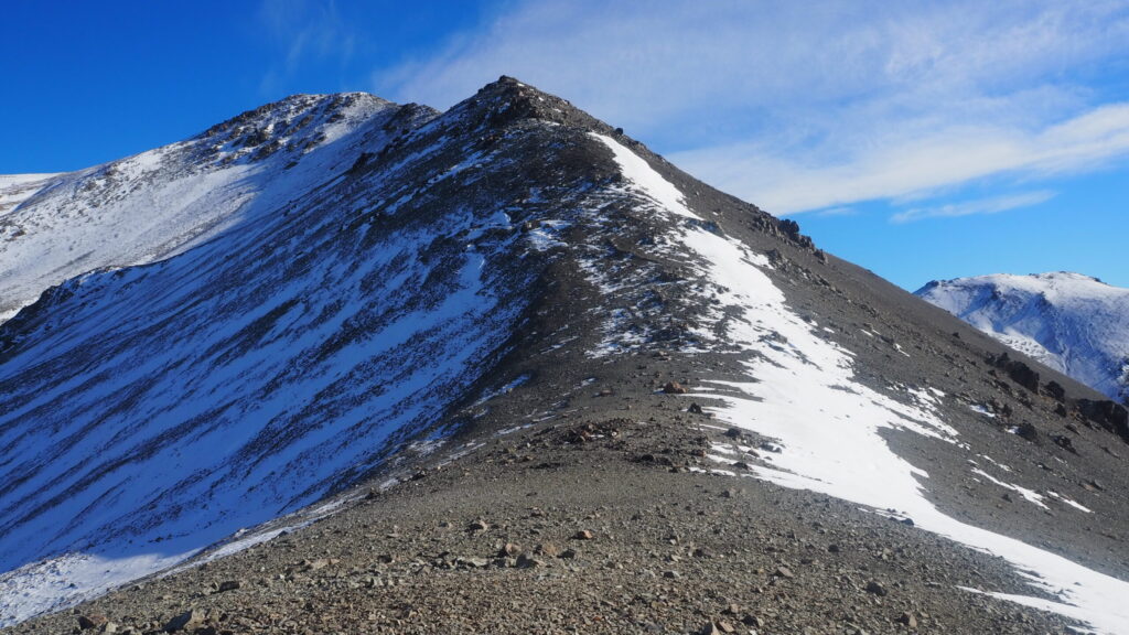
At some points, I started to think, “I might actually make it!”
The higher we climbed, the more easily I seemed to get out of breath. Perhaps the altitude had something to do with it, although the steep climb and my mate’s ridiculous pace probably had more to do with it!
There was still some snow near the summit, too.
Finally Reaching the Summit
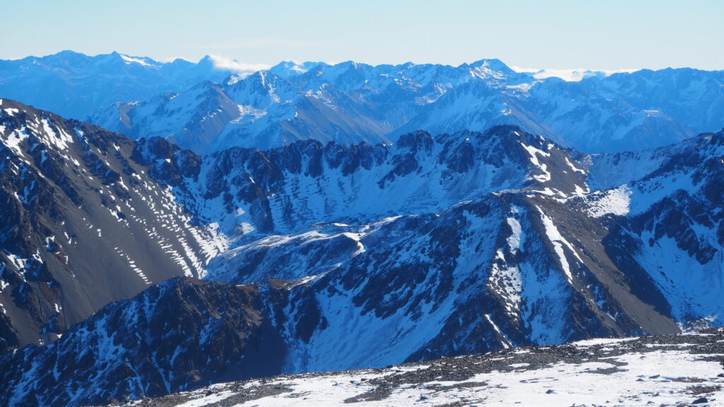
By the time we reached the summit, I was absolutely knackered.
And the view!
The Southern Alps stretched out towards the horizon, with mountain after mountain as far as the eye could see. I could even catch a glimpse of Mt Cook in the distance.
I was exhausted, relieved and overwhelmed by the sheer scale of it all.
I didn’t really know what to say. I just kept looking around at the 360-degree views, thinking, “Wow. This is amazing.”
We hugged each other and celebrated reaching the summit together.
One of my mates had been struggling with cramp on the way up, so we took a longer break at the top before heading back down.
I was proud of myself for making it without throwing in the towel. After all that effort, it felt good just to sit there and take in the scenery.
The Slippery Way Down
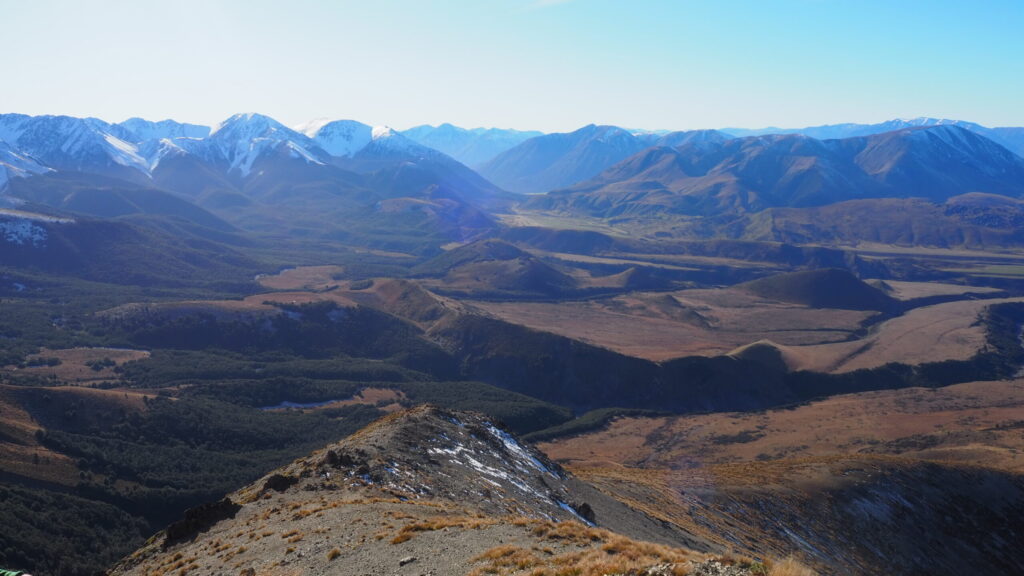
I found the descent much easier than the climb, at least in terms of energy. I finally had enough breathing room to enjoy the scenery rather than concentrating on keeping up with my mate.
The ground, though, was incredibly slippery.
There were loads of loose rocks and gravel on the steep slopes. At times, I was practically sliding down rather than walking!
“Whoa, whoa! Don’t twist your ankle!”
That was pretty much what was going through my head.
I had to be careful where I put my feet, and despite trying not to fall over, I still took a few tumbles.
I wasn’t particularly scared. I was just trying to stay on my feet without twisting an ankle.
Even so, I enjoyed the walk back. I had more energy to look around, and the rugged landscape was impressive from every angle.
Immersing myself in nature was purely enjoyable.
How Difficult Is Mt Cloudesley?
I’d describe it as a very challenging hike, especially for someone without much mountain experience.
The slopes are steep, the ground can be loose underfoot, and you need a decent level of fitness.
I was only on my third hike, but I managed to reach the summit by taking my time and with encouragement from my friends. That doesn’t mean I’d recommend the mountain to beginners.
DOC describes the Mount Cloudsley climb as a challenging, unmarked route for fit, experienced and properly equipped trampers. It isn’t a maintained, signposted walking track.
Navigation skills and suitable weather conditions are essential. DOC advises attempting the climb only in good visibility and without snow on the ground.
We encountered some snow near the summit, but I wouldn’t take that as a reason to underestimate the risks.
Practical Information for Hiking Mt Cloudesley
Location: Craigieburn Range, near Castle Hill Village, Canterbury, New Zealand.
Summit elevation: 2,107 metres.
Starting point: Castle Hill Village, with access via the Hogs Back Track and Long Spur.
Walking time: Our hike took around 6–7 hours in total: roughly 3–4 hours climbing and 2–3 hours descending, including the time we spent on the mountain. Your time may be very different depending on your fitness, route-finding and conditions.
Difficulty: Challenging, unmarked mountain route. Suitable for experienced, properly equipped hikers rather than casual walkers.
What to prepare: Check the forecast, carry reliable navigation equipment, allow plenty of daylight and bring suitable clothing, food, water and emergency supplies. Snow, poor visibility and loose terrain can make the route hazardous.
For current route details and safety advice, see the DOC Mount Cloudsley climbing guide.
Find Mt Cloudesley on Google Maps
Was Mt Cloudesley Worth It?
Absolutely.
I still remember how exhausted I was when we reached the top, and how I could barely find the words to describe the view.
The mountains seemed to stretch on forever. I just stood there looking around, thinking, “This is incredible.”
And, of course, I remember my mate practically racing up the mountain while the other two of us struggled to keep up.
But we made it to the summit together and shared that moment.
I don’t think I’ll ever forget the sense of achievement or the scenery up there.

